Which acres?
Now
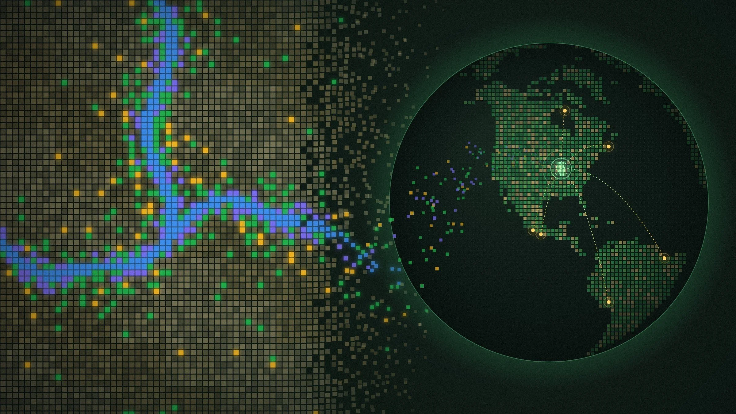
I've mapped every 30-meter square of Illinois, about 160 million of them. Each one carries its own carbon, wildlife, soil, and farm economics. Optimizer picks the exact fields that do the most good for the least cost, within real conservation rules.
Next
The AI system learns the whole process. It finds the local data, reads the local research, learns the local rules, and builds a land plan for that place. Years of research on one state become a method built to work for global locations.